CounterWatch Air
Drone Security & Autonomous Patrol
A managed aerial layer for patrol, event verification, thermal observation, large-area awareness and incident documentation.
CounterWatch Air
What This Solution Does
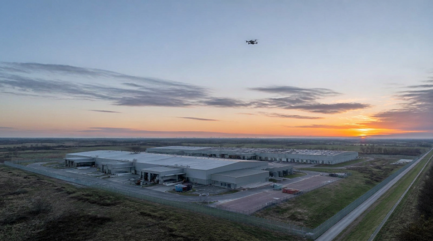
CounterWatch Air brings autonomous and remotely operated drones into a wider protection program. Aerial coverage can support scheduled perimeter patrol, event-driven observation, alarm verification, thermal awareness and documentation across areas that fixed views may not cover effectively.
Drone as a Service (DaaS)
Advanced aerial capability without building an internal drone program.
Managed End to End
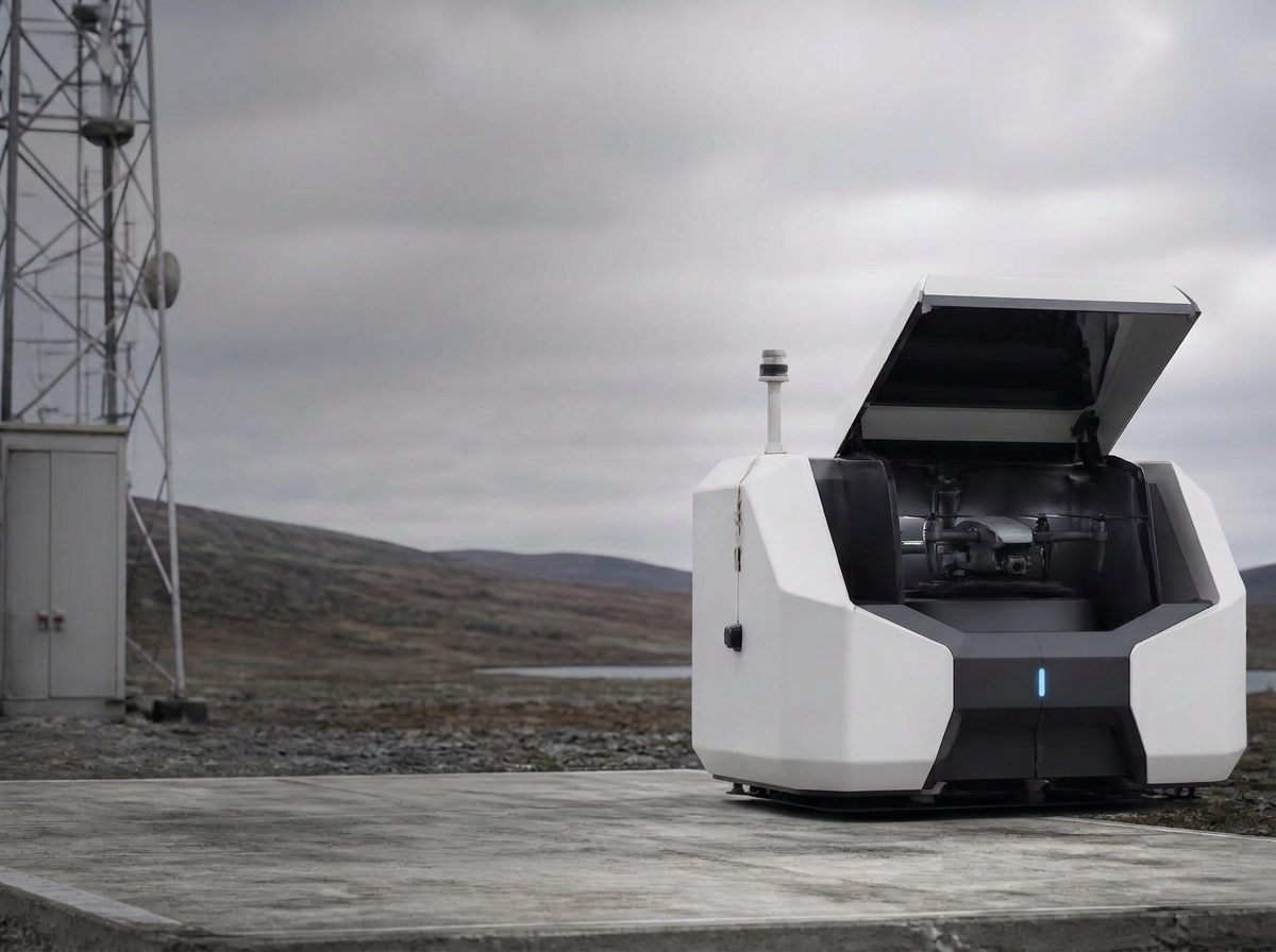
Aircraft, operations, monitoring, maintenance and aviation requirements are managed or coordinated to match the engagement.
A Program, Not a Product Purchase
The aircraft is the differentiator, technology is the enabler, and improved awareness is the outcome.
Capabilities
What This Solution Includes
Scheduled perimeter patrol
Repeatable aerial routes can observe fence lines, gates, yards, rooflines and remote areas on an approved cadence.
Event-driven observation
Where operationally and legally appropriate, an aircraft can provide an additional live view of an alarm or developing event.
Thermal observation
Compatible payloads can improve awareness in darkness, shadow and selected environmental conditions.
Large-area surveillance
Elevated, moving observation helps cover distance and obstructions beyond practical fixed-camera views.
Situational awareness & response
Aerial context helps operators understand location, movement and scale before coordinating escalation.
Incident documentation
Relevant imagery, timestamps and observations can become part of a documented event record.
Delivery
How It Is Deployed
Every program follows a defined sequence so the work is predictable, documented and repeatable across sites.
Assess
Review the property, existing coverage, operating goals, airspace, obstructions, power and connectivity.
Design
Define mission purpose, routes, cadence, payloads, procedures, data handling and integration points.
Authorize
Confirm the aviation authority and approvals available for the location and proposed operating profile.
Manage
Coordinate the selected aircraft, operators, monitoring, maintenance, documentation and program review.
Where It Fits
Environments This Serves
- Large commercial and industrial properties
- Long or difficult perimeters
- Outdoor storage and logistics yards
- Remote or distributed assets
- Facilities needing verified alarm context
- Organizations evaluating DaaS
Outcomes
What Changes
- Faster visual context across large areas
- Aerial verification where authorized and appropriate
- Documented observations linked to events
- Advanced aerial capability without an internal drone program
Drone missions depend on site conditions, airspace, weather, privacy requirements and applicable operating authority. BVLOS operations are available only where appropriate approvals and operating authority are in place.
OTHER SERVICES
Airspace Awareness & Counter-Drone Protection
Developing detection, identification, tracking and alert coordination for authorized and unauthorized aircraft awareness.
Drone Inspection & Asset Intelligence
Repeatable visual and thermal inspection programs that help protect the assets and infrastructure inside the perimeter.
Remote Monitoring & Protection Operations
The operational heart connecting people, drones, cameras, trailers, sensors, analytics, alerts and customer communication.
Fixed Surveillance & Video Intelligence
Assessment, planning and integration for fixed cameras, thermal imaging, analytics, sensors and existing surveillance systems.
Mobile Surveillance & Site Protection
Deployable cameras and sensors for construction, events, parking, equipment yards, temporary sites and supplemental coverage.
Site Protection Assessment
A vendor-neutral review of existing infrastructure, blind spots, risks and opportunities, resulting in a phased protection roadmap.
3D Modeling and Photogrammetry
Aerial photogrammetry, measurable site models and repeatable spatial documentation for planning, progress review and forensic visualization.
Investigations & Forensic Support
A coordinated transition from live protection into incident review, documentation, evidence considerations and specialist forensic support.
Plan Your Aerial Program
See Where Aerial Security Fits
Tell us about the areas you need to observe, the events you need to verify, and the aerial capability you are considering.